By Randy J. Bruner, HMNS Sugar Land Docent

Picture taken by HMNS staff visiting the salt mine in Hockley, Tx.
Halite (NaCl) is the mineral commonly referred to as salt. This simple mineral has had a varied and important impact on the history of mankind. It has been used as currency and has formed the basis for development of entire communities and industries. We need this mineral for a number of important functions in our bodies and it would not be possible to survive for long without a reliable source of some form of salt. The history of salt is long and interesting and beyond the scope of this summary about the Houston area. However, the importance of salt to Houston cannot be denied.
One of the earliest communities to develop in the Houston area was at Blue Ridge. This small settlement was located in southwest Houston, near the intersection of the Fort Bend tollway and Highway 6. Like several early settlements along the Gulf of Mexico costal area, it was located on the crest of a shallow salt dome. Salt domes are large diapiric bodies of salt that have made their way toward the surface from beds of salt, buried thousands of feet below the current land surface. Their source in the Gulf of Mexico area is the Luann salt layer, which formed during the early stages of the formation of the Gulf of Mexico. During this period, the Gulf Coast basin was only intermittently filled with water and evaporation of this sea water deposited a very thick layer of salt. Salt is lower density than the compacted sediments above it and this difference, along with the overlying weight of the sediments, causes the salt to move upward like bubbles of air in shampoo. Some of them have made their way very close to the current surface and result in small scale topographic highs. These slight highs were good areas for settlements because they were less prone to flooding and were dryer than the surrounding more swampy areas.

Source: Geology.com
The salt dome at Blue Ridge is very shallow and the top of the salt is located at approximately 700’. The Blue Ridge salt dome area became a settlement in the 1880’s and the first oil production on this salt dome reportedly started in 1919. Salt domes are very important to the oil and gas industry, and salt structures underlay much of the onshore and offshore Gulf of Mexico. Oil and gas are trapped along the flanks of salt domes and under horizontal layers of salt. Salt is not soluble in oil like it is in fresh water and forms a very good trapping surface for oil and gas deposits. Much of the reason Houston became one of the worldwide centers for the Petroleum industry is the prevalence of salt-related oil and gas deposits in this area and throughout the Gulf of Mexico basin.
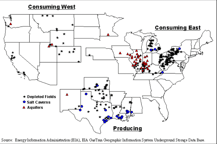
Blue Ridge salt dome was also the site of an active surface mining operation starting in the early 1900’s. The salt mine was active until the 1940’s when there was an attempt to convert it to a solution mining operation. Most salt domes are too deep to be mined from the surface and a process called solution mining is used to recover the salt. This process involves pumping fresh water down into the dome, through wells drilled into the salt. They then pump out the salt-saturated water and evaporate it at the surface to recover the salt. There was an attempt to convert the Blue Ridge salt mine to this process, but it caused the old mine shaft to collapse and mining was halted at that point. It is still active for oil and gas production. I couldn’t find any records of it being used for storage of oil and gas. Once solution mining has occurred in a salt dome, it provides large cavities in the salt that can be used for other purposes. The storage of oil and gas in these domes occurs all across the Gulf of Mexico. In fact the U.S. government is using salt domes to store oil as part of the Strategic Petroleum Reserve. This reserve currently has about 700 million barrels of oil in storage in case of a catastrophic interruption in oil supplies. This was established after the major supply interruptions of the 1970’s and although the amount of oil in storage has diminished over time, it still exists, in case it is needed.

Simplified Stratigraphic Sequence of Northern Gulf of Mexico from the Late-Triassic through Early-Cretaceous. Author: Emccre4LSU. Source: Wikimedia Commons.
There is one active surface salt mine in the Houston area near Hockley. This mine has a shaft that descends some 1100’ to a large salt dome. The salt from this dome is not table salt quality, but it is used for water softeners, fertilizer and as an additive to animal feeds. We have a few very large samples of salt from this mine in HMNS Sugar Land and hopefully, someday, they will form the centerpiece for a set of displays on the topic of salt.
There are two additional salt domes located in the general area of HMNS Sugar Land. These two salt domes, (Thompson and Sugar Land,) were major oil and gas producing areas. The Sugar Land salt dome is approximately 3800’ below the surface and has had significant oil and gas production starting with the initial discovery in 1928. The Thompson salt dome is much deeper and the top of salt is at approximately 9300’. This deep seated salt dome is the site of a very significant oil field discovered in the early 1930’s and it still produces oil and gas today. These two domes were too deep to be mined from the surface and I could not find any information confirming they have not been subjected to solution salt mining.
Salt domes in the Gulf Coast salt basin are also mined from the surface, or by solution, to recover some of the common Cap rock minerals (sulfur, gypsum, limestone, etc.). Cap rock forms on salt domes as they rise into the section of the subsurface sediments that contains fresh water. The fresh water dissolves the upper parts of the salt dome and concentrates the minor minerals included in the salt. This cap rock layer can contain commercial levels of different minerals and one of the most common is sulfur.
There are a lot more aspects to the history and uses for salt that are very interesting and will hopefully be included in a future exhibit being developed for the Sugar Land museum. I hope this very limited introduction will spark your curiosity to find out more about this very common mineral and how it has impacted both worldwide historic events and the development of the Houston area.
References:
- Allison, Edith. June 2016. A look back at 40 years of the Strategic Petroleum Reserve In June 2016 issue of the AAPG Explorer, pp. 30 and 39.
- Beckman, Jeffery D. and Williamson, Alex K. 1990. Salt-Dome locations in the gulf coastal plain, south-central United States, U.S. Geological Survey WaterResources Investigations Report 90-4060 pp 1-20.
- Coates, Glenda K., Lee, Cheryl A., McClain, William C., and Senseny, Paul E., .1981. Failure of Man-Made Cavities in Salt and Subsurface Due to Sulfur Mining, Sandia National Laboratories Report SAND1-7145, pp. 33-35.
- Department of Energy, SPR Storage Sites, energy.gov, retrieved May 18, 2016, from http://energy.gov/fe/services/petroleum-reserves/strategic-petroleumreserve/spr-storage-sites.
- Grinstead, Fred E. 1962. Sugar Land Field In Typical oil and gas fields of Southeast Texas, Houston Geological Society, pp. 1
- Hager, D.S. and Stiles, E. 1925. The Blue Ridge salt dome, Fort Bend County, Texas In AAPG AAPG Bulletin Volume 9, #2, pp. 304-316.
- Hamiln, H. Scott .2006. Salt Domes in the Gulf Coast Aquifer In Texas Water Development Board Report 365, pp. 217-230.
- Isabell, Peggy and Woodson, Charles (June 12, 2010). Blue Ridge, Tx (Fort Bend County), Handbook of Texas Online. Retrieved on June 3, 2016, from http://www.tshaonline.org/handbook/online/articles/hnb51.
- McCarter, W.B. and O’Bannon, P.H. 1933. Sugar Land Oil Field, Fort Bend County, Texas In AAPG Bulletin Volume 17 #11, pp1362-1386.
10.Shultz-Ela, D.D., Jackson, M.P.A., and Vendeville, B.C. 1993. Mechanics of active salt diapirism In Techtonics, pp. 275-312. Elsevier Science Publishers B.V., Amersterdam.
11.Weebly.com, Salt Dome Formations, How they form – Salt Dome Formations, retrieved on June 6, 2016, from http://saltdomeformations.weebly.com/how-theyform.html.